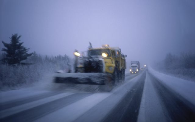
Road conditions from the MoDot travelers map
Road conditions will improve as crews are able to clear more areas as the day progresses and temperatures warm to above freezing.
Interstate 44 has received a great deal of attention and both lanes are open with some slush in the passing lane in other parts of the state. I-44 from Laclede County thru Pulaski County is wet but clear.
Highway 63 is reported to be partly covered from Rolla to Freeburg and clear north of this. It’s snow-covered from Rolla south through Licking, Houston, and all the way into Arkansas.
Highway 17 is listed as snow-covered from Waynesville north to the junction with Highway 54 in Cole County, and snow-covered from the Interstate south to Houston.
Highway 54 is snow-covered from the Missouri-Kansas border through the Lake of the Ozarks area and Miller County, but partly snow covered through Cole County, Jefferson City, and northeastward to the Mississippi River.
KK-Highway is snow-covered from Crocker to the junction with Highway 54 in Cole County.
Highway 42 is snow-covered from Highway 54 in Osage Beach to just east of Iberia at the Highway A junction. It then is partly snow-covered through Vienna and to just south of Belle.
Highway 5 is snow-covered from Lebanon south into southern Missouri and north out of Lebanon through Camdenton and the Lake of the Ozarks area.
Highway 28 is snow-covered from I-44 north through Dixon up to Highway 63 Junction east of Vienna.
Highway 133 is snow-covered from the Interstate northward through Richland, Swedeborg, just east of Dixon, up through Maries County.
Although not indicated on Modot’s Travelers Map, Highway 7 is likely to be snow-covered from the Interstate through Richland all the way up to Old Highway 5 south of Camdenton, and T Highway out of Waynesville is likely to be snow-covered up to Swedeborg.
Related Content